The EPA's radon zone map divides every county in the United States into one of three risk categories based on predicted average indoor radon levels. While these maps provide useful context for understanding regional risk, they are not a substitute for testing your individual home. Here is what the Georgia map shows and what it means for homeowners across the state.
Not sure which county you are in? Our free lookup tool shows radon levels by zip code, matching your zip to its county and EPA zone in seconds.
1. Understanding the EPA Zone System
The EPA classifies counties into three zones based on predicted average indoor radon levels. These predictions are based on geology, soil data, building types, and actual radon measurements from each area.
Zone 1: Highest Potential
Predicted average indoor radon level greater than 4 pCi/L. These counties have the highest probability of homes exceeding the EPA action level.
Zone 2: Moderate Potential
Predicted average indoor radon level between 2 and 4 pCi/L. A significant percentage of homes in these counties will have levels above the action level.
Zone 3: Lower Potential
Predicted average indoor radon level below 2 pCi/L. Lower average risk, but individual homes can still have elevated levels.
2. Zone 1 Counties: Highest Risk
Georgia's Zone 1 counties are concentrated in the northern part of the state, where granite and metamorphic bedrock produce the most radon. These counties have predicted average indoor levels above 4 pCi/L.
- Blue Ridge Region: Fannin, Gilmer, Lumpkin, White, Habersham, Rabun, Towns, Union counties. Granite bedrock creates the highest radon production in the state.
- Upper Piedmont: Cherokee, Forsyth, Hall, Dawson, Pickens counties. Decomposed granite soil and bedrock formations contribute to high radon levels.
- Key statistic: In Zone 1 counties, roughly 40 to 60% of tested homes have radon levels at or above 4 pCi/L.
3. Zone 2 Counties: Moderate Risk
Zone 2 covers much of the Piedmont region, including most of Metro Atlanta. These counties have predicted averages between 2 and 4 pCi/L.
- Metro Atlanta: Fulton, DeKalb, Cobb, Gwinnett, Henry, Rockdale, Fayette counties. See city-specific data for Canton and Lawrenceville.
- Central Piedmont: Clarke, Oconee, Morgan, Newton, Walton counties.
- Key statistic: Approximately 25 to 40% of tested homes in Zone 2 counties exceed 4 pCi/L.
4. Zone 3 Counties: Lower Risk
Zone 3 encompasses most of South Georgia and the coastal plain. Sedimentary soils and sand deposits produce less radon than the igneous and metamorphic rocks of the north.
However, "lower risk" does not mean "no risk." Individual homes in Zone 3 can still have elevated radon, especially those with deep basements, certain soil compositions, or unique geological features. The EPA recommends testing every home regardless of zone.
5. Metro Atlanta County Breakdown
Metro Atlanta straddles the boundary between Zone 1 and Zone 2, with radon risk generally increasing as you move north and west.
Metro Atlanta Counties by Risk Level
- Cherokee County: Zone 1. Average 3.5 to 5.5 pCi/L. Woodstock, Canton.
- Forsyth County: Zone 1. Average 3.5 to 5.0 pCi/L. Cumming.
- Gwinnett County: Zone 2. Average 2.5 to 4.5 pCi/L. Lawrenceville, Snellville, Duluth.
- Cobb County: Zone 2. Average 2.5 to 4.0 pCi/L. Marietta, Kennesaw, Smyrna.
- Fulton County: Zone 2. Average 2.0 to 4.5 pCi/L. North Fulton significantly higher than South Fulton.
- DeKalb County: Zone 2. Average 2.0 to 3.5 pCi/L. Decatur, Dunwoody, Tucker.
6. Limitations of Radon Maps
While radon zone maps are a helpful educational tool, they have important limitations that every homeowner should understand.
- County-level averages: Each county gets a single zone designation, but radon levels vary dramatically within a county. A Zone 2 county can have neighborhoods with Zone 1 levels and vice versa.
- Predictions, not measurements: Zone designations are based on geological models and sampling, not exhaustive testing of every property.
- Home-specific factors ignored: Foundation type, construction quality, HVAC design, and site grading all affect individual radon levels but are not captured in zone maps.
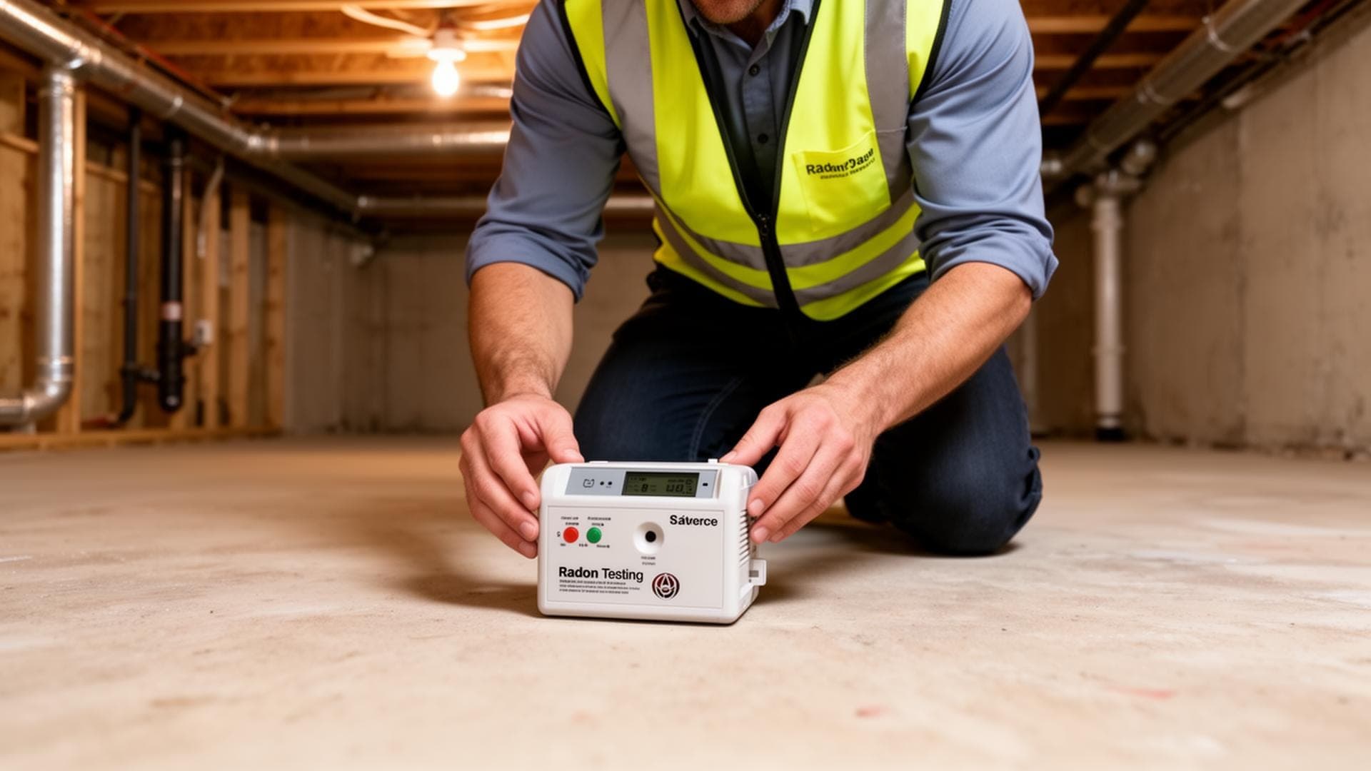
7. Why Testing Is Still Essential
The EPA is clear on this point: every home should be tested for radon, regardless of what zone it falls in. Maps tell you about regional risk. Only a test tells you about your home.
The Bottom Line
- Use the radon map to understand your general risk level
- Test your specific home to know your actual radon level
- Retest every 2 to 5 years, or after major home changes
- Take action if levels exceed 4 pCi/L, and consider action above 2 pCi/L
Frequently Asked Questions
Know Your Home's Actual Radon Level
Maps show risk. Testing shows reality. Schedule professional radon testing for your Georgia home today. Visit our frequently asked questions about radon for more information, or see our radon resources for homeowners.